Why am I in NJ?
A friend of mine from my high school days was turning 40. His wife had invited me without his knowing. My showing up was to be a surprise. It worked out great! He also got a Wii for his birthday so we stayed up playing that until 3:00 am Saturday night playing it. On Sunday morning we were back on it playing Guitar Hero III.
Anyway, the party wasn't until 2:30 pm, Saturday afternoon. So, having driven down the night before and spending the night at my Father's house, I had plenty of time to get a ride in. Yes, I did bring my bike :-)
What to Wear?
The forecast during the week had been calling for rain on Saturday. It held off. However it was in the upper 50's and sometimes cloudy, sometimes, sunny, and sometimes windy. The type of weather where you either dress too much or not enough, and never just right. I wore my long Pearl Izumi bike pants, my Germany bike shirt, and my Lime Transformer Shell. It was a bit chilly when I headed out so I was glad for the shell and long pants. However, at mile 5, the inside of my shell felt like a rain forest. It was still too chilly to do without the shell and my shirt was, well, wet with sweat. So I opted to just zip off the sleeves and wear the vest part. It looked funny, but it was the perfect combination.
 The Germany Shirt clashes a bit when worn underneath the Lime Vest.
Westbrook Road
I originally wanted to do a 30 mile ride, however there were signs on Westbrook road saying it was closed ahead. As I was riding it to where it splits off onto Stonetown Road I got passed my 3 very large dump trucks in just under a mile. The part of the road that was open was also very crappy. So when I came to Stonetown road, I made the right onto it.
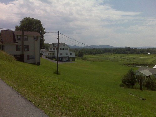
I wanted to include Ringwood State Park as part of my ride. I haven't been there in over 30 years and I figured it would be cool to ride through it.
Unfortunately, I just learned that due to NJ's fiscal problems, the Governor is going to close this state park, along with a number of others. That is a shame.
From Ringwoodmanor.com
The Governor's budget proposal will close nine parks, among them High Point and Shepard Lake. Reduction in services intended at others, including Ringwood Manor historic site. The Ringwood Manor reduction is drastic; it will affect school programs, tours, maintenance, special programs (Independence Day Celebration, reenactments, etc.), and collection management. In total, the Park Service will be losing 80 permanent positions.
PLEASE HELP: Contact your state legislators to let them know you are not happy with this. Ask them to help restore the money necessary to allow the parks to operate.
To find your district's legislator: http://www.njleg.state.nj.us/districts/municipalities.asp and write to them, asking them to stop the cuts in the already understaffed parks.
Shepard Pond
I knew about Shepard Pond Road, but I didn't know it had been closed. It was still paved and ridable, but not for too much longer as nature is starting to take over. BTW, this is a great place to mountain bike. There is more mountain biking here in the highlands of NJ than one would think.
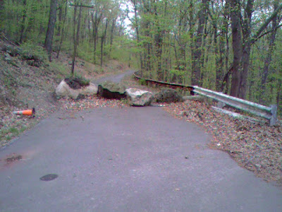 Shepard's Pond Road - I don't know how long it has been closed for, but it was bikable.
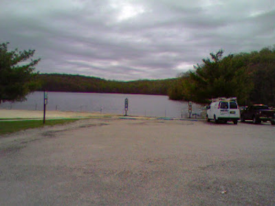 Shepard's Pond
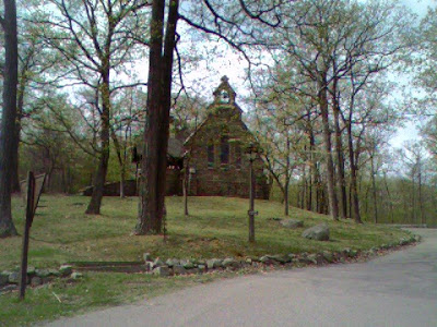 The Chapel at Shepard's Pond
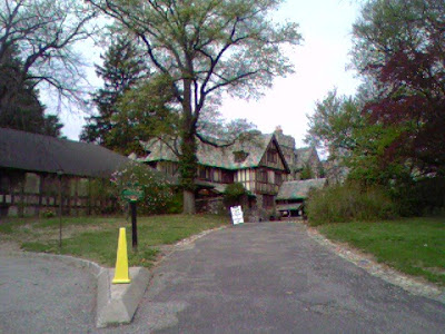 Skylands Manor
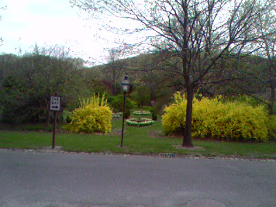 Botanical Gardens
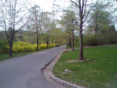 Tree lined path.
GPS Issues
Because of the deep valleys I rode through and the mountains (Ramapo) nearby, my GPS dropped the signal a number of times so the map below isn't 100% accurate. I may massage the GPX file and regenerate.
Map My Ride Version
This is a more accurate, non-GPS, mapped out version of my route.